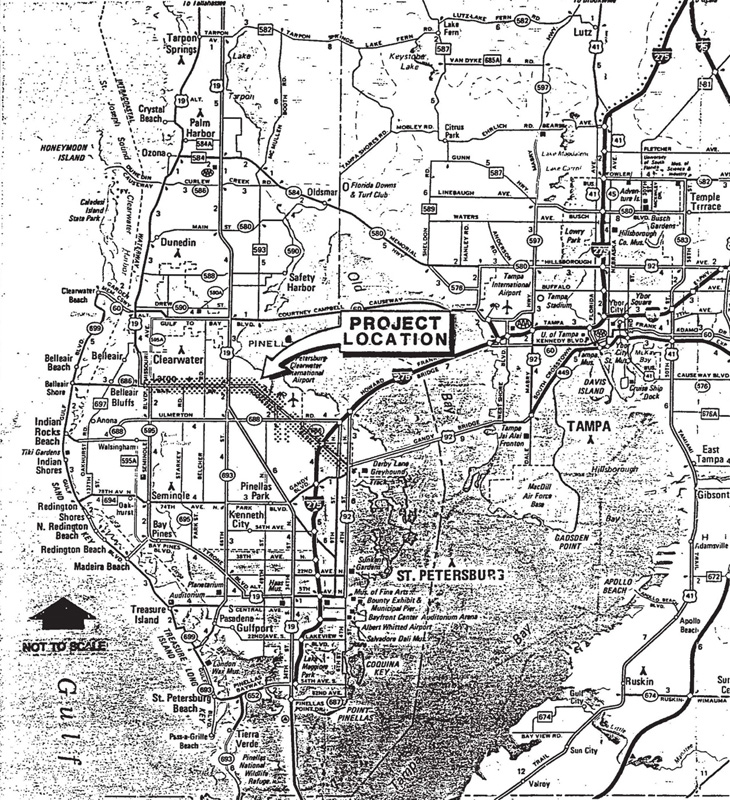
Click image to view map
The Florida Department of Transportation (FDOT) conducted a Project Development & Environment (PD&E) study to improve SR 686 (East Bay Drive/Roosevelt Boulevard) between Alternate US. 19 (Seminole Boulevard/Missouri Avenue) and US 92 (Gandy Boulevard). A public hearing was held on May 21, 1991
Proposed Improvements
Existing:
In 1993, State Road 686, from 49th Street to SR 688, was a four-lane divided rural roadway within a 150-ft. ROW section. SR 688 to US 92 (Gandy Boulevard), SR 686 is a four-lane divided rural arterial within a variable 210-foot to 300- ft. right-of-way section. From 43rd Street to its terminus east of 28th Street, 118th Avenue is a two-lane rural roadway within a variable 60-ft. to 150- ft. ROW section. 49th Street is an existing two-lane roadway within a 100-foot ROW. No specific accommodations exist for bicycles within any of the segments, and sidewalks are isolated and discontinuous.
Three bridge structures, including a box culvert, exist within the project limits. The box culvert (No. 150065) at Cross Bayou Canal is 74 feet in length and contains four 10-ft. by 12-ft. cells. This structure has an inventory rating of 34 tons, a structural condition rating of 7, and an estimated remaining life of 17 years. The Department recommends lengthening this culvert. A three-span AASHTO girder bridge (No. 150016) at the SR 686/ SR 688 west interchange is 168 feet in length and provides 15.67 feet of vertical clearance. The bridge has an inventory rating of 23 tons, a structural condition of 9, and an estimated remaining life of 29 years. Finally, a four-span AASHTO girder bridge (No. 150114) at the SR 686/ SR 688 east interchange is 304 feet in length and provides 15.83 feet of vertical clearance. This bridge has an inventory rating of 20 tons, a structural condition of 8, and a remaining life of 28 years.
Capacity analyses using existing traffic volumes were conducted for each of the signalized and major unsignalized intersections along the SR 686 and 118th Avenue study corridors. The results of the analyses indicate that several intersections presently operate at unacceptable levels of service (LOS E or F) during peak traffic hours.
Proposed:
The established limits of the proposed project are from the vicinity of the 49th Street SR 686 intersection to the northwest and the intersection of SR 686 and US 92 to the southeast. The project also includes a southward extension of SR 686 adjacent to 43rd Street, from SR 688 to 118th Avenue (County Road 296), then eastward along CR 296 to the vicinity of 1-275. The improvement of 49th Street from the south end of the 49th Street Bridge at SR 686 south to CR 296 is also included in the project. Modifications are planned for the existing SR 686/I-275 interchange to provide access to and from CR 296. An Interchange Justification Report was approved by FHWA on February 23, 1989 with the conditions that the ramps to/from the west at the SR 688 interchange be widened to two-lanes and I-275 be widened to four lanes in each direction prior to opening the CR 296 interchange at I-275 & SR 686.
The proposed project improvements include an expressway with one-way frontage roads on SR 686 from 49th Street south to CR 296 east to I-275. A six-lane divided rural arterial is planned for SR 686 from SR 688 southeast to US 92. A six-lane divided urban arterial is planned for 49th Street. These proposed improvements have been deve1oped in close coordination with the separate 49th Street Bridge, 49th Street and CR 296 design projects currently underway for Pinellas County as well as the SR 688 and Howard Frankland Bridge projects underway for the Department.
The proposed expressway sections will consist of 8-ft. paved outside shoulders and two to three 12-ft. travel lanes per direction (based on specific locations). Directions of travel will be separated by a 22-ft. median consisting of 10- ft. inside shoulders and a two-ft. barrier. The expressway, frontage road and arterial typical sections are included in the Preliminary Engineering Reports for the project, published separately. Frontage roads will consist of one or two 12-ft. travel lanes, one 14-ft. outside lane, and an 11-ft. border strip consisting of a 2-ft. curb and gutter, a 6-ft. sidewalk and a 3-ft. utility strip. The proposed ROW width varies depending on the number of lanes. The present Pinellas County MPO Comprehensive Bicycle Plan does not designate the project as a bicycle route. However, bicycles and pedestrians will be accommodated on the frontage roads in the wide curb lanes and on the sidewalks, respectively. The proposed arterial section from the SR 686/SR 688 east interchange southeast to US 92 will consist of 10-ft. paved outside shoulders and three 12-ft. travel lanes per direction separated by a variable median width of 22 ft. to 64 ft. The arterial cross section, including open ditch drainage systems, will be centered within the existing right-of-way. Bicycles will be accommodated on the paved shoulders. No specific pedestrian facilities will be provided. The 9th Street North intersection will remain at grade based upon citizens comments received at the public hearing. New interchanges; are proposed at SR 686 and 49th Street, SR 686 and SR 688 (west), SR 686 and 118th Avenue, SR 686 and SR 688 (east), CR 296 and 28th Street, and modifications will be made to the existing SR 686/1-275 interchange. Overpasses are provided at the St. Petersburg/Clearwater International Airport and 126th Avenue. Weaving, merge and diverge analyses as well as intersection. Capacity analyses were conducted for the design year 2010 as documented in the Preliminary Engineering Report, published separately. The results of the analyses indicate that all roadway segments are projected to operate at acceptable levels of service (LOS D or better) during peak traffic hours.
The existing roadway profile will change to accommodate the proposed expressway interchanges and overpasses. These changes will not affect the existing drainage patterns in the area. Therefore, this project will not notably affect flood heights or floodplain limits. In addition, the proposed improvements will increase the available capacity on the SR 688 emergency evacuation route. As such, it has been determined that any encroachments associated with the proposed roadway improvements are not significant.